METEOR M86/2
- Area:
- Strait of Messina
- Time:
-
27.12.2011 - 17.01.2012
- Institution:
- GEOMAR
- Chief scientist:
- Sebastian Krastel-Gudegast
The continental margins of southern Italy are located along converging plate boundaries, which are affected by intense seismicity and volcanic activity. Most of the coastal areas experienced severe earthquakes, landslides, and tsunamis in historical and/or modern times. The most prominent example is the Messina earthquake of Dec. 28, 1908 (Ms=7.3; 80,000 casualties), which was characterized by the worst tsunami Italy experienced in the historical time (~2000 casualties). It is, however, still unclear, whether this tsunami was triggered by a sudden vertical movement along a major fault during the earthquake or as a result of a giant marine slide initiated by the earth-quake. The recurrence rates of major landslides and therefore the risk associated with landslides is also unknown.
Based on detailed bathymetric data sets collected by Italian colleagues in the frame of the MaGIC Project (MArine Geohazards along the Italian Coast), scientists of IFM-GEOMAR and the cluster of excellence "future ocean" will collect seismic data (2D and 3D) and gravity cores in three working areas (The Messina Straits, off Eastern Sicily, the Gioia Basin).
The main objectives will be to identify seismogenic faults, to map and characterize volcanic and non-volcanic submarine slides, and to study tectonic control on canyon evolution. The new data will be the basis for a detailed risk assessment in the working areas.
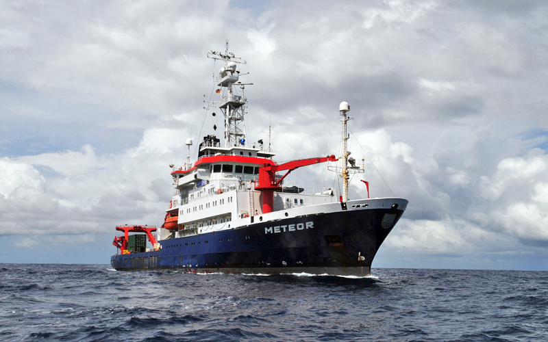
The German research vessel RV METEOR in front of the currently erupting Mount Etna on Sicily, Italy. Photo: Sebastian Krastel-Gudegast/GEOMAR