The geochemical fingerprints of hotspot volcanism
On-site work confirms numerical models for the formation of different expressions of volcanic chains
The ocean hosts more than 25 million volcanoes. Particularly striking are linear volcanic chains that end at oceanic islands like Hawaii and become older with increasing distance from island. The age-progressive volcanism results from movement of a lithospheric plate over a relatively stationary “hotspot” in the underlying mantle, where hot material rises through the Earth’s mantle. A volcano forms on the oceanic plate above the hotpsot, which is then transported away from the hotspot, due to plate motion. The volcanism is eventually cut off from its source and ceases, and a new volcano forms above the hotspot. This process is continuous and can last for more than 100 million years.
In the South Atlantic, this has led to the formation of a volcanic chain more than 3000 kilometres long - the Tristan-Gough-Walvis volcanic chain with the volcanically active islands of Tristan da Cunha and Gough at its southwest end and volcanoes becoming progressively older to the northeast in the direction of plate motion. In general, hotspots are the surface expression of mantle plumes. These are conduit-like structures, where hot mantle material rises from depths of up to 2800 kilometres within the Earth – just above the boundary between core and mantle – to the earth’s surface. Because hotspot lavas have a distinct geochemical composition compared, for example, to volcanic rocks from the mid-ocean ridges, whose melts originate from the Earth's depleted upper mantle, their traces can be followed over thousands of kilometres.
To investigate hotspot volcanism, a research team from GEOMAR Helmholtz Centre for Ocean Research Kiel in cooperation with the Alfred Wegner Institute, Helmholtz Centre for Polar and Marine Research and the University of Erlangen recovered rocks from a previously nearly unsampled Rio Grande Rise - part of the Tristan-Gough-Walvis chain on the South American plate - in 2019 on the expedition MSM 82 with the German research vessel MARIA S. MERIAN. This hotspot track is one of the few examples worldwide that began with a massive volcanic outpouring of lava, forming the Parana and Etendeka flood basalt provinces in Brazil and Namibia approximately 135 million years ago, and then developed an extremely complex volcanic track on the seafloor of the South Atlantic Ocean.
According to the classical hotspot model, the mantle plume rising in the Earth’s mantle has a mushroom-like shape at its initiation. Upon reaching the base of the lithosphere, the head of the plume spreads out along the base of the lithosphere – forming the mushroom-like shape – generating melts over a large area of up to 2000 kilometres in diameter, known as flood basalt provinces. After a few million years, the plume head spreads away and an age-progressive volcanic chain is formed over the plume tail – or the stem of the mushroom – younging in the direction opposite to plate motion. The Tristan-Gough volcanic chain, however, is more than 400 kilometres wide at its younger end – which cannot be explained by the classical mantle plume model.
“The geochemical fingerprint shows a spatial zonation along almost the entire volcanic chain. Based on our geochemical and age data, combined with plate tectonic reconstructions, the Tristan-Gough plume seems to have split into at least two branches in the upper mantle shortly after the plume head stage, which can explain the unusual width of the volcanic chain” explains Dr. Stephan Homrighausen from GEOMAR, lead author of the current study.
Professor Dr. Kaj Hoernle, head of the Petrology and Geochemistry group in the Magmatic and Hydrothermal Systems research unit at GEOMAR adds: “Our on-site work was the first to corroborate numerical models of this splitting and to confirm that rising mantle plumes can have different shapes – which then leads to complex volcanic chains.”
“The temporal and spatial formation of these volcanic chains has considerable global significance, as on the one hand they can form poly-metallic deposits, and on the other hand, they can also influence the global climate by changing ocean circulation” adds Dr. Jörg Geldmacher from GEOMAR and co-author of the current study. “In particular, the large flood basalt provinces have been linked to global mass extinctions in Earth's history.”
Original publication:
Homrighausen, S., Hoernle, K., Hauff, F. et al. (2023): Evidence for compositionally distinct upper mantle plumelets since the early history of the Tristan-Gough hotspot. Nature Communications, doi: https://doi.org/10.1038/s41467-023-39585-0
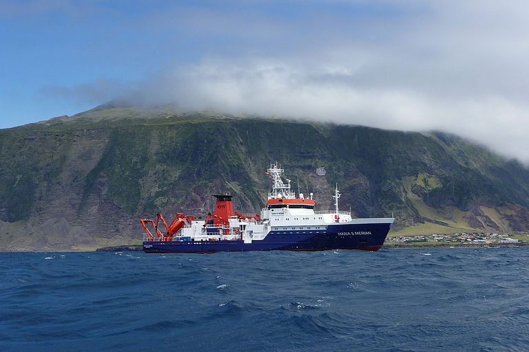
Research vessel MARIA S. MERIAN at the island of Tristan da Cunha during the expedition MSM20-2 in January 2012. Photo: Catherine Rannou
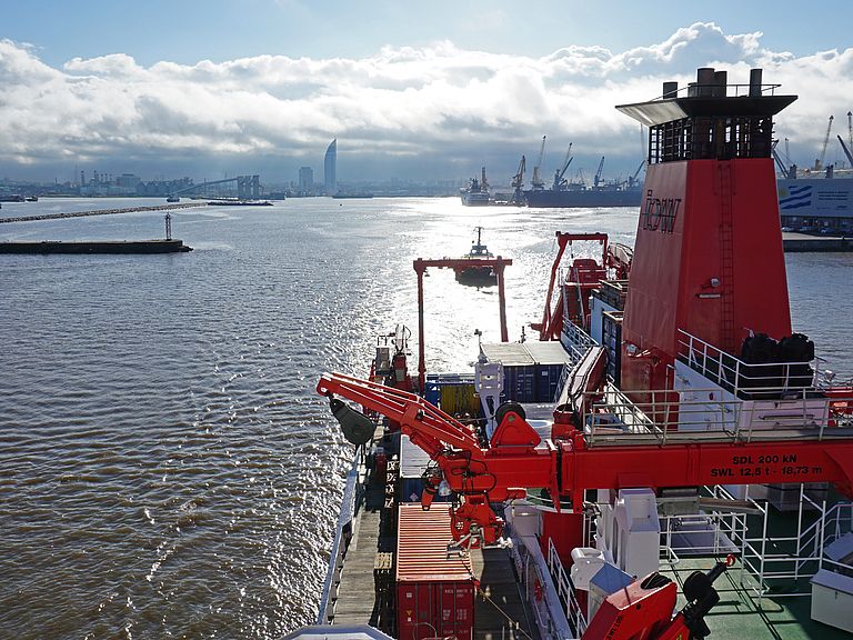
MARIA S. MERIAN leaves the harbour of Montevideo, Uruguay, at the start of the expedition MSM82 in March 2019. Photo: Jan J. Falkenberg, Universität Erlangen
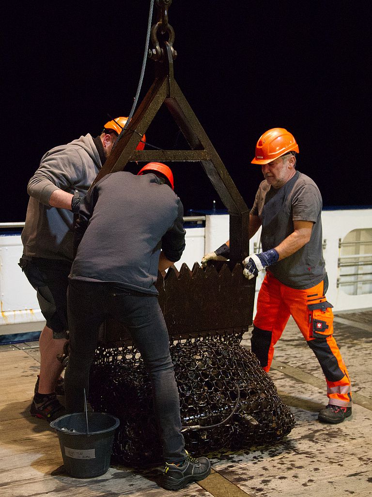
A dredge is used to retrieve rock samples from the seafloor. Photo: Stefan Krumm, Universität Erlangen
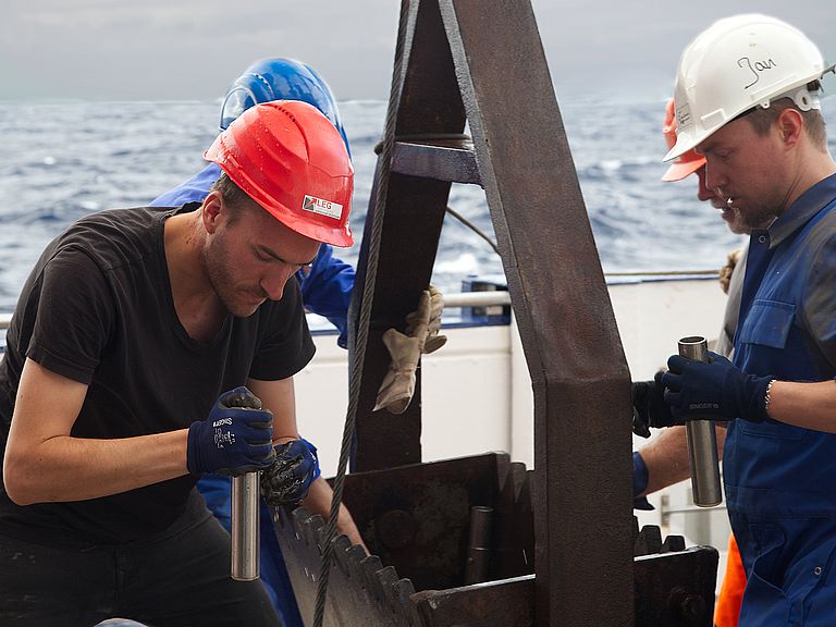
Collecting sediment samples from the dredge. Photo: Stefan Krumm, Universität Erlangen
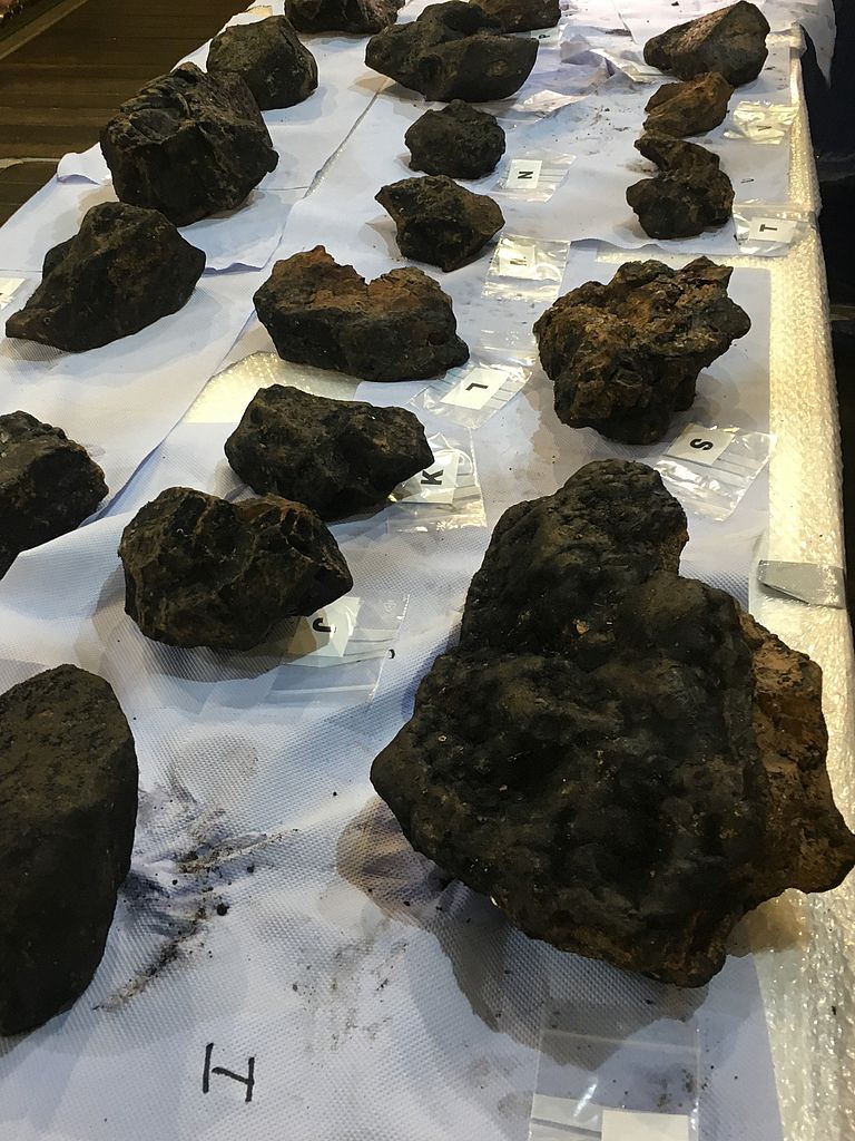
Rock samples from the deep sea floor onboard MARIA S. MERIAN. Photo: Stefan Krumm, Universität Erlangen
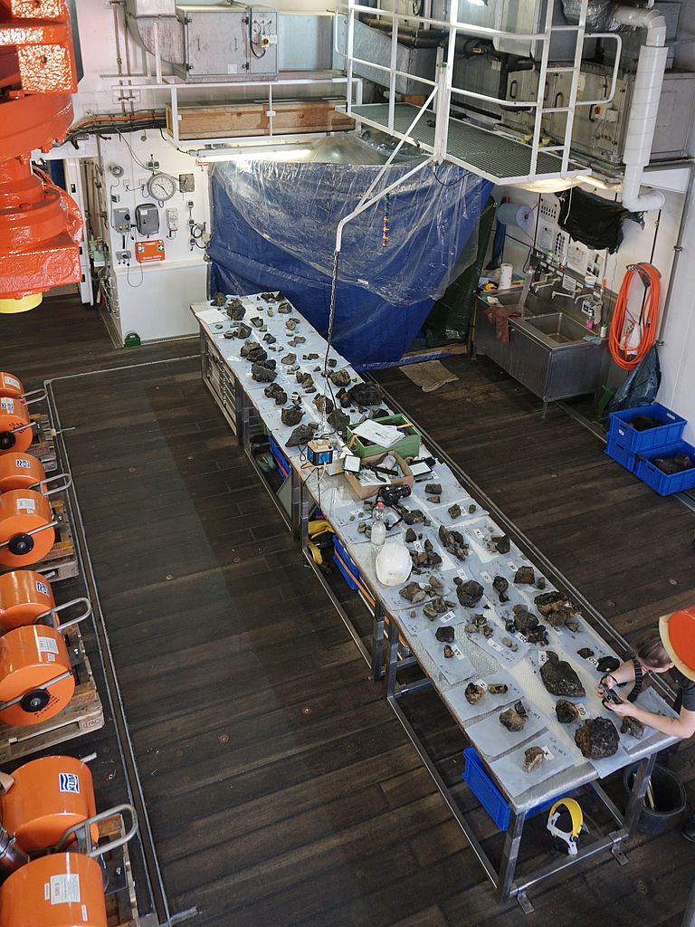
Onboard MARIA S. MERIAN rock samples retrieved during the expedition MSM82 are prepared for further analyses on land. Photo: Jan J. Falkenberg, Universität Erlangen


