Atlantic Water Warms the Arctic
Study in "Science“ reveals temperature increase in the Fram Strait as unprecedented in past 2,000 years
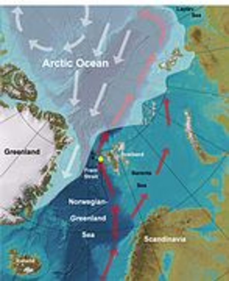
The Fram Strait between Greenland and Svalbard (Spitsbergen) is the major connection between the Arctic Ocean and the world ocean. In its eastern part, relatively warm and saline water masses from the North Atlantic enter the Arctic. This current, the northernmost extension of the so-called "Gulf Stream", provides ice-free conditions in the waters west of Svalbard even in winter. Scientists from the Leibniz Institute of Marine Sciences (IFM-GEOMAR) and the Academy of Sciences, Humanities, and Literature Mainz, in cooperation with colleagues from the Alfred Wegener Institute for Polar and Marine Research in Bremerhaven (Germany) and from the universities of Tromsø (Norway) and Boulder (USA), analyzed marine sediments from the western Fram Strait and found that temperatures of the northward inflowing Atlantic Water varied several tenths of a degree Celsius during the past 2,000 years. The most recent temperature increase of approximately two degrees Celsius, however, is unprecedented in the past 2,000 years. "Such a warming of the Atlantic Water in the Fram Strait significantly differs from all climate variations in the past 2,000 years", says Dr. Robert Spielhagen, who works for the Academy at IFM-GEOMAR. He is the lead author of the study published in the recent issue of "Science".
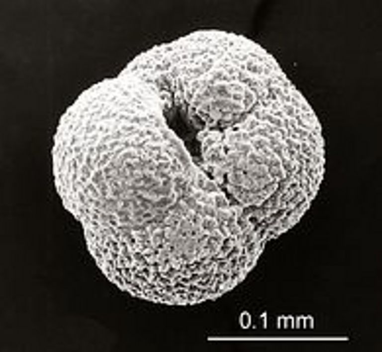
Because continuous meteorological and oceanographical data series extend only ~150 years into the past, scientists use natural climate archives like ice cores or sediment cores for investigations of past climate variability. The authors of the "Science" study used specific foraminifers from a sediment core to reconstruct water temperatures in the Fram Strait. These protozoans live in water depths of 50 to 200 metres and build calcareous shells. When they die, the shells sink and accumulate on the sea floor together with other particles. Because specific foraminiferal species prefer specific water temperatures, the species associations in sediment samples of a known age can be used to determine past oceanic and climatic conditions. In addition, the authors analyzed the chemical composition of the calcareous shells, which also allows reconstructing the water temperature in which the foraminifers lived. Using these two independent methods, Spielhagen and his team of collaborators found several warmer and cooler intervals in the Fram Strait during the past 2,000 years. "On of these intervals was the 'Little Ice Age' from the mid-15th to the late 19th century when it was unusually cold" says Kirstin Werner, co-author of the present study. In contrast Unusually in the very youngest deposits the authors found many subpolar foraminifers, advected by warmer waters from the Atlantic. Both methods applied show a temperature increase of approximately two degrees in the last 100 years. "Today, temperatures of the Atlantic Water in the Fram Strait are approximately 1.5 degrees higher than during the climatically warm early Medieval Period. We assume that the accelerated decrease of the Arctic sea ice cover and the warming of ocean and atmosphere in the Arctic, as measured during the past decades, are in part related to an increased heat transfer from the Atlantic", says palaeoceanographer Robert Spielhagen.
The results published in "Science" support another study performed by IFM-GEOMAR scientists, together with Russian colleagues within the project "Laptev Sea System" in the Russian Arctic. Their data, published in 2010 in the "Journal of Geophysical Research" by lead author Igor Dmitrenko from IFM-GEOMAR, suggest that the warm Atlantic Water layer on the Siberian shelf of the Laptev Sea is found in significantly shallower waters than in the 80 years before. A further warming and extension of the Atlantic Water layer in the Arctic could have dramatic consequences for the sea ice formation and sea ice coverage in the Arctic Ocean.
Reference:
Spielhagen, R.F., K. Werner, S. Aagaard Sørensen, K. Zamelczyk, E. Kandiano, G. Budeus, K. Husum, T. M. Marchitto, M. Hald, 2011: Enhanced Modern Heat Transfer to the
Arctic by Warm Atlantic Water. Science, 331, 450-453, doi: 10.1126/science.1197397.
Contacts:
Jan Steffen (Communication & Media), Phone: +49-431 600-2811, presse(at)geomar.de Petra.Plaettner(at)adwmainz.de


