Seafloor Hazards and Benefits
The challenge
The ocean floor is a constantly evolving membrane between the hydrosphere, biosphere and geosphere. It separates the world we experience from the solid Earth below. Shaped by its long-term memory of Earth processes, it is the critical interface where geology, climate, ecosystems, and human activities converge. Here, interactions between rocks, magma, microbes, higher organisms and fluids provide us with marine resources, regulate global biogeochemical cycles, and threaten us with natural hazards. Turning towards the ocean to meet future demands in high value natural chemicals, raw materials and energy, humans are changing the ocean floor at rates unprecedented in the geological record.
A responsible and sustainable use of resources and mitigation of geohazards require an enhanced knowledge about short- and long-term processes that shape the current sea floor, as well as about its role in the Earth System. To apprehend how we benefit from seafloor processes but are also threatened by them, we need to understand how ocean plates evolve over a plate tectonic cycle.
Early warning systems and forecasting of seafloor hazards such as tsunamigenic landslides, megathrust earthquakes at plate boundaries, and submarine volcanic eruptions increase the safety of people living at the coast and beyond.
In addition, concepts of sustainable use also concern the biogeochemical exchange at the seafloor, which affects global carbon as well as other chemical cycles and results in the formation of geological resources. We need to advise on responsible use concepts through understanding and considering their equilibrium at geological time scales and the consequences of their extraction.
Our aim
Our key goal for the next decade is to foster a holistic approach to study the seafloor and understand how it is affecting us and how we are changing it. We want to quantitatively address processes on near-instant and extended timescales. This includes working towards forecasting of geohazards and a reliable prediction through interdisciplinary research with a focus on urban areas and the land-sea interface, where the largest geohazard-related disasters have occurred during the recent decades.
Other topics include the role of oceanic plates in the formation of mineral deposits and the investigation and assessment of environmental impacts arising from the utilization of marine resources.
Our expertise
GEOMAR is uniquely positioned to explore the seafloor by having a horizontally integrated geoscience department with strong links to neighbouring disciplines. We bring together geologists, geochemists, microbiologists, geophysicists, and modelers united in the quest to understand the seafloor and its role in the Earth System.
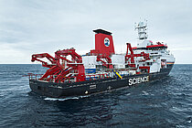
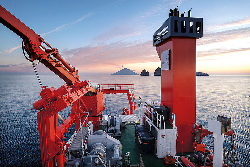
We use a wide range of geophysical, geochemical, and modeling tools to investigate the geological processes on land and at sea, in the lab and in theory. We lead expeditions around the world using our dedicated seafloor observing systems. Our broad geoscientific research portfolio covers the deep sea up to the shoreline and we have unique capabilities to link our studies to onshore explorations by crossing the shoreline.