


![[Translate to English:] Eine Karte des Einsatzgebites vor Südwestafrika. Erstellt mit GeoMapApp.](/fileadmin/content/service/presse/Pressemitteilungen/2020/SA_mapCreditsCreatedwithGeoMapApp.jpg "[Translate to English:]")
The earth's mantle as a lava lamp
Volcanic chains “recycle” oceanic crust and continental material
In the 80s, so-called lava lamps were found in the rooms of many young people. The heat of a light bulb in the foot of the lamp caused wax to rise upwards as bubbles in a colourful oily liquid. The existence of rising bubbles of heated rock is also suspected for the earth's mantle. They are called mantle plumes. When they reach the top of the Earth's mantle, they can melt (due to the lower pressure there) and cause volcanism on the thin crustal plate above. The bubbles always rise at the same place, at so-called hotspots. However, as the overlying earth plate continues to move due to plate movements, a chain of volcanic buildings is formed on the surface, each one a little bit younger than the one before. The chemical investigation of hotspot volcanism represents a unique opportunity to obtain information on the composition of the lower mantle of the earth.
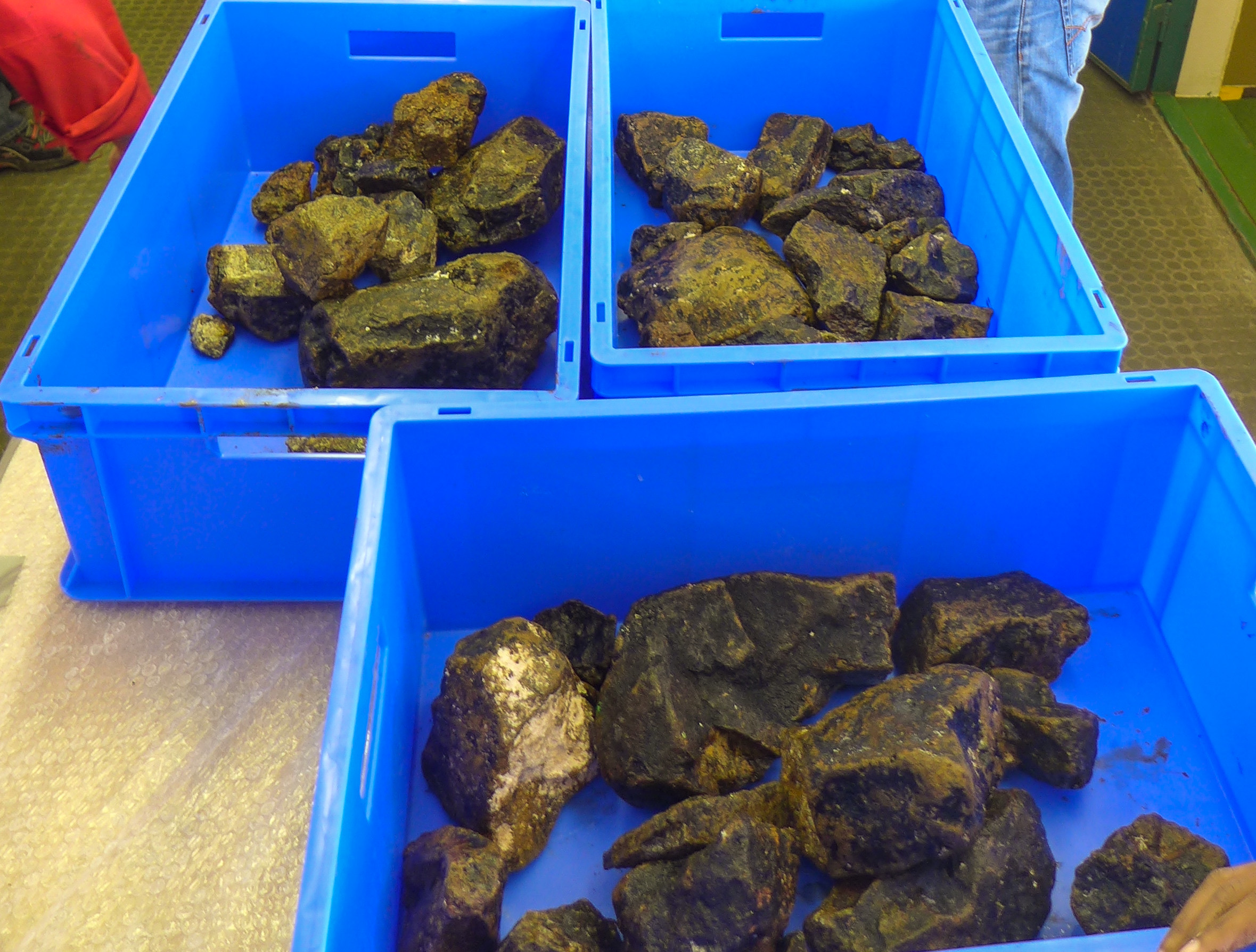
A classic example of hotspot volcanism is the Tristan Gough volcanic chain in the South Atlantic, which extends from the Namibian coast of southwest Africa over more than 3000 km to the active volcanic islands of Tristan da Cunha and Gough. During several expeditions, for example with the German research vessels SONNE and MARIA S. MERIAN, this chain and the Shona volcanic chain further south were sampled by the research unit Magmatic and Hydrothermal Systems at the GEOMAR Helmholtz Centre for Ocean Research Kiel, led by Prof. Kaj Hoernle. The researchers found that the geochemical fingerprint along these two prominent hotspot traces is identical and indicates so-called “recycled” material in the hotspot source.
“According to our investigations, the material found there comes from an older subduction process”, explains Dr. Stephan Homrighausen from GEOMAR, first author of the study. This happens when two tectonic plates collide and one plate “overruns” the other. At these so-called subduction zones, such as the Andes, oceanic crust and continental material are continuously “recycled” into the earth's mantle over millions of years. Seismic studies have shown that large parts of the subducted plates submerge into the lower mantle, accumulate there and are then brought back to the surface by mantle plumes, as has been demonstrated at the Tristan-Gough and Shona hotspots.
“To our surprise, we were able to demonstrate volcanic activity on the Tristan-Gough and Shona hotspot traces, which is about 30 million years younger and has a completely different composition. This is completely unusual for hotspot volcanism”, says Dr. Stephan Homrighausen. “These younger volcanoes are components of another, overlying hotspot trace that can be traced far into the African continent. Such overlying hotspot traces with different geochemical signatures have so far only been observed in the Pacific Ocean”, adds co-author Prof. Dr. Kaj Hoernle.
One possible explanation lies more than 2500 kilometers deep in the lower mantle. There, directly below the oceanic hotspots, is a huge amount of mantle material which has a different composition than the surrounding mantle, and possibly consists of a mixture of mantle material from the earth's origin and recycled crustal material. The origin of this accumulation is as yet unknown. Clear is however that this "province", as geologists call it, is a constant source of mantle plumes. It has a dynamic, complex structure, explains Dr. Homrighausen. “If large quantities rise at the edge of the province, this could lead to instabilities in the center and cause material of different chemical compositions to rise. This could explain the overlying hotspot traces”. And Dr. Jörg Geldmacher, one of the other co-authors of the new study, adds: “This behavior actually reminds me a lot of the lava lamp I had when I was a student”.
Scientific paper:
S. Homrighausen, K. Hoernle, H. Zhou, J. Geldmacher, J-A. Wartho, F. Hauff, R. Werner, S. Jung and, J. P. Morgan, 2020: Paired EMI-HIMU hotspots in the South Atlantic - Starting plume heads trigger compositionally distinct secondary plumes? Science Advances, 6, https://doi.org/10.1126/sciadv.aba0282


![[Translate to English:] Eine Karte des Einsatzgebites vor Südwestafrika. Erstellt mit GeoMapApp.](/fileadmin/_processed_/7/2/csm_SA_mapCreditsCreatedwithGeoMapApp_21b0d82543.jpg "[Translate to English:]")