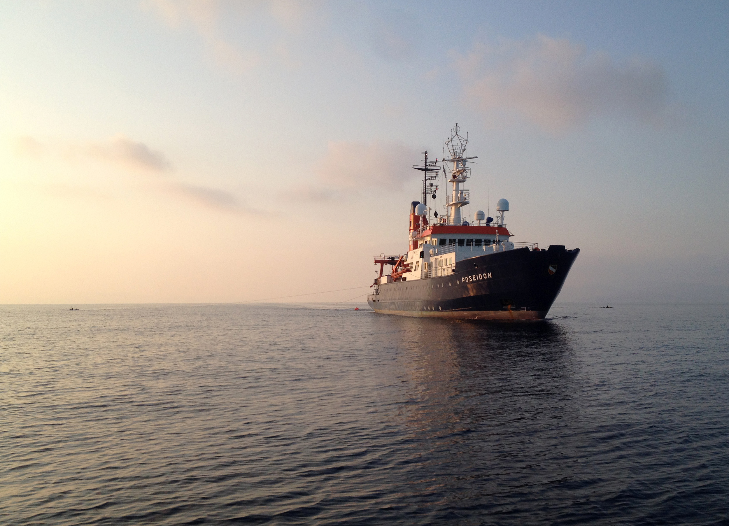
Research Vessel Poseidon during seismic measurements off Santorini. Photo: Paraskevi Nomikou
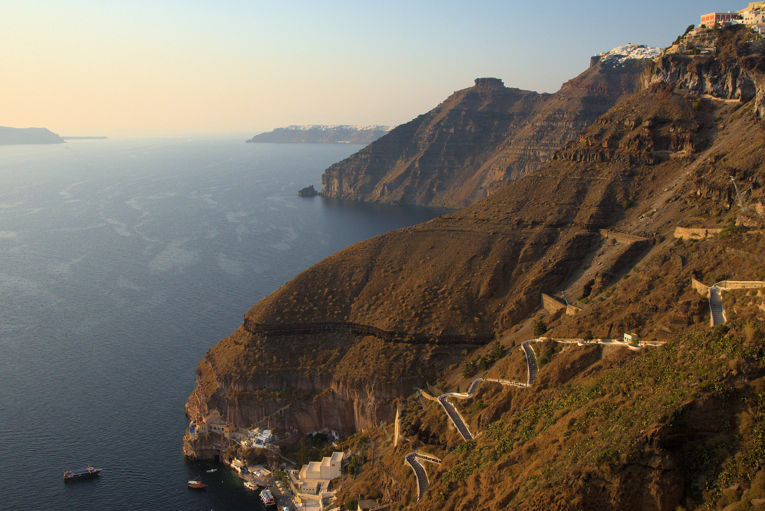
View into the caldera with the steep cliffs of Santorini, formed by the Minoan eruption. Photo: Jonas Preine
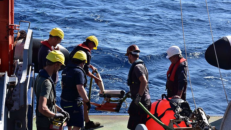
Further measurements on the research vessel Poseidon. Photo: Paraskevi Nomikou

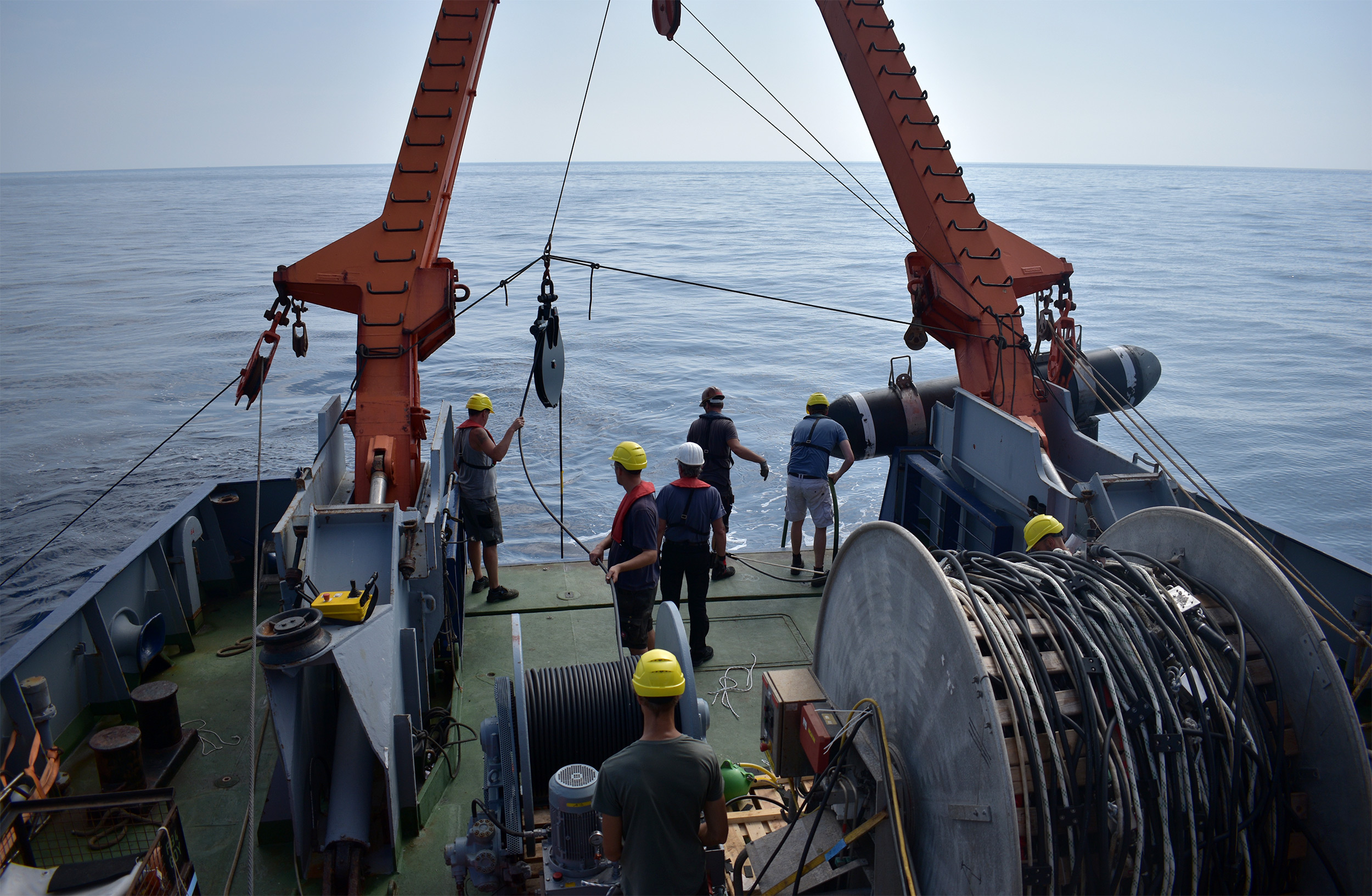
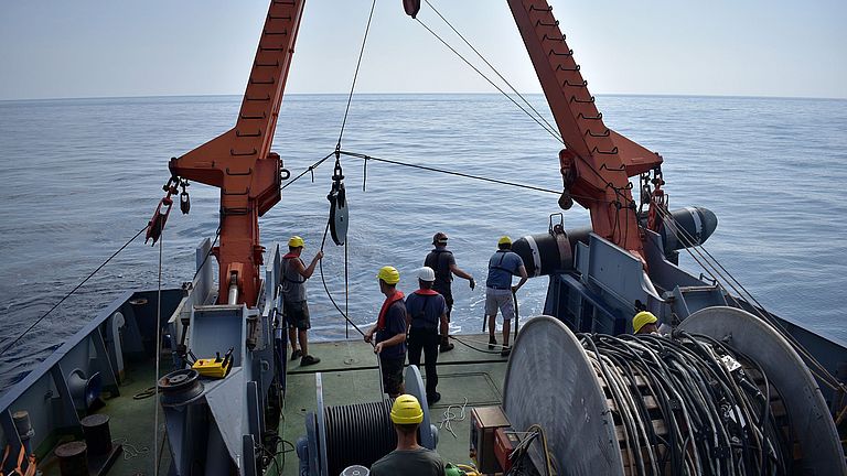
Seismic measurements during expedition POS538 off Santorini. The buoyancy body marks the position of the seismic source. Photo: Jonas Preine
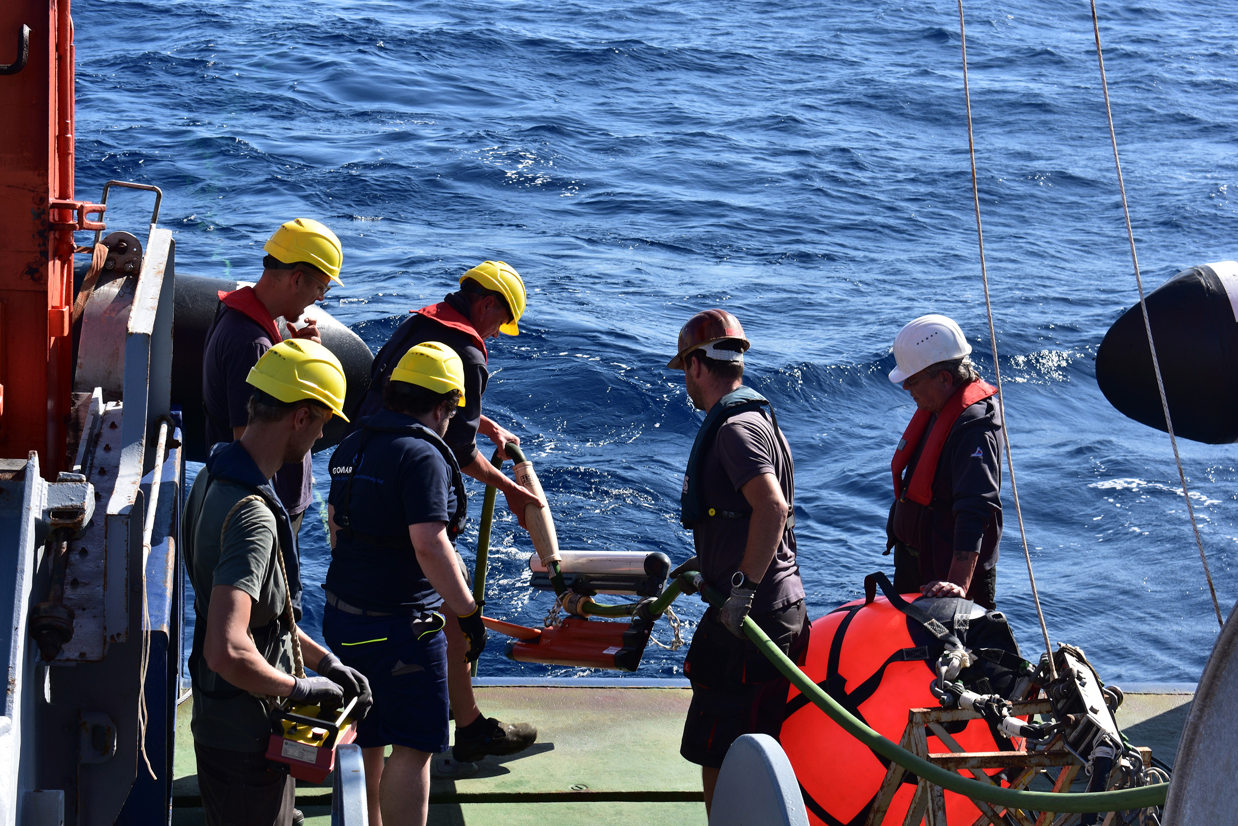
Measurements of the Minoan eruption on the research vessel Poseidon. Photo: Paraskevi Nomikou
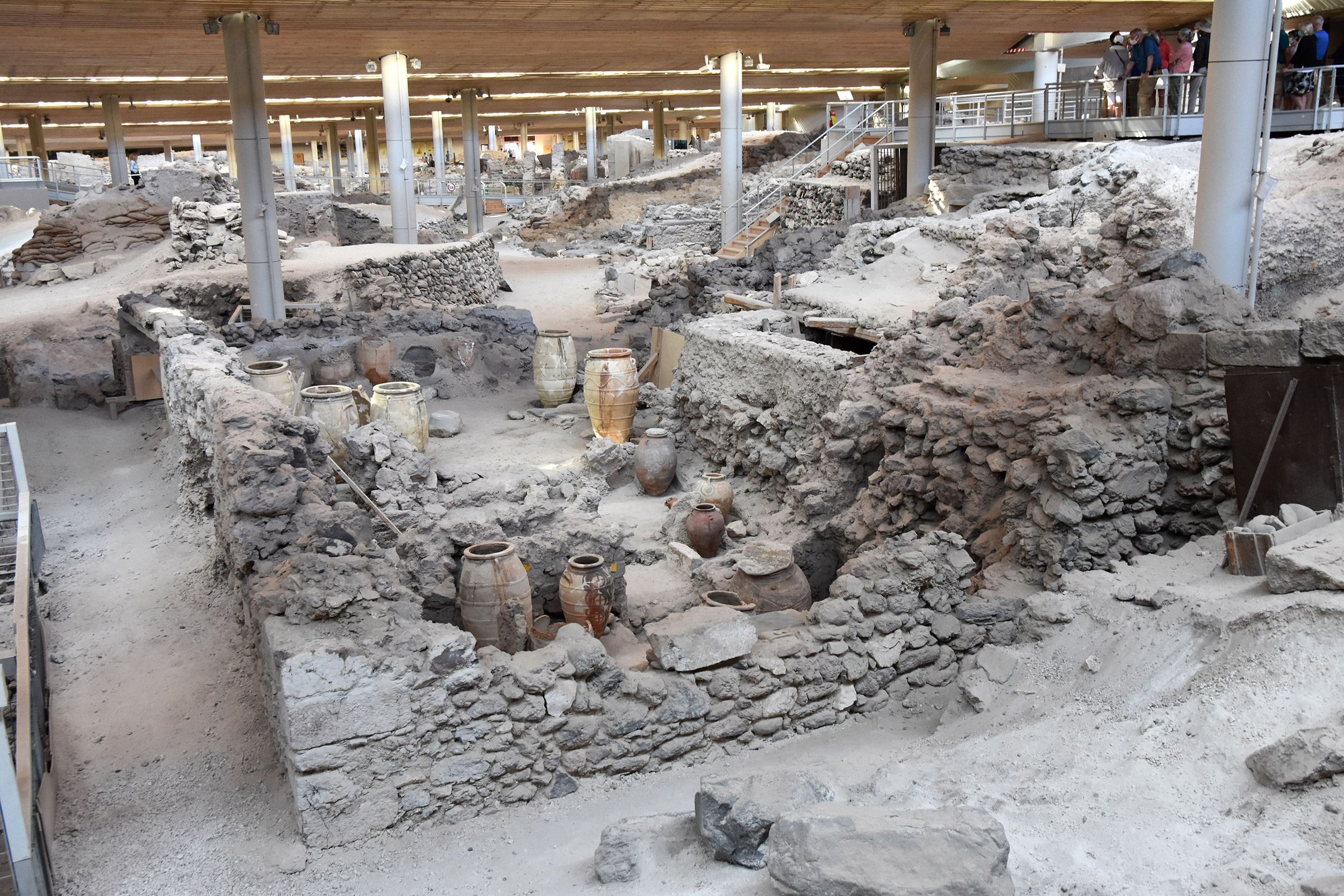
Excavation site of the city of Akrotiri on Santorini, buried by the Minoan eruption. Photo: Jonas Preine

View into the caldera with the steep cliffs of Santorini, formed by the Minoan eruption. Photo: Jonas Preine
Minoan eruption survey improves volcanic risk assessments
GEOMAR study provides new insights into the largest volcanic eruption in Europe in the last 10,000 years
Volcanic eruptions are spectacular, violent and dangerous. Large explosive eruptions can even have global impacts. To classify the size of volcanic eruptions, the magma volume and the deposition volume are determined. Volcanologists estimate these values in order to compare the size of different volcanic eruptions or to obtain a measure of the explosiveness of the eruption. However, it is often not possible to determine the values accurately. This makes it difficult to infer the actual volume of magma and to measure the complete extent of such eruptions. In particular, this is because the deposits of the most violent historical eruptions are partially or completely under water, which makes geological investigations difficult. This has also prevented the accurate sizing of past eruptions and thus a reliable risk assessment.
An international team of researchers led by marine geoscientist Dr. Jens Karstens of GEOMAR Helmholtz Centre for Ocean Research Kiel has now combined the latest geophysical and geological methods to resurvey the Minoan eruption of the Greek island of Santorini, which took place 3,600 years ago. Their study has now been published in the journal Nature Communications. The analyses presented within lead to one of the most accurately determined volume estimates of any large volcanic eruption, and provide an approach to better classify and measure other volcanic eruptions worldwide. The publication thus provides a basis for better assessing the hazard of such events and establishes a benchmark for more precisely determining magma volumes.
"Volcanic eruptions can result in measurable effects worldwide, such as a global temperature decrease" confirms Dr. Karstens, lead author of the study. "While we can assess climate change risks through models, and we have a relatively good understanding of the risk from earthquakes, we are much worse off when it comes to volcanoes. We have a blind spot there. It is therefore essential that we learn to assess the consequences of large explosive volcanic eruptions more accurately. To better assess the risk, it is necessary to know how frequently eruptions of a certain size occur. The basis for this is volume calculations that are as precise as possible. We have made an important contribution to this with our study of the Minoan eruption."
The Minoans were the earliest advanced civilization in Europe. The eruption named after them took place about 3,600 years ago in the Holocene epoch, burying an entire city, now the excavation site of Akrotiri. Estimates from previous calculations suggested that the eruption was as large as 86 cubic kilometers of ejected magma. This would have made it one of the largest in the past 10,000 years. The science team's new analysis yields much smaller numbers: Only one-third to one-half as large, 26-41 cubic kilometers.
For their calculations of the volcanic magnitude, the researchers combined different methods from several research cruises. For example, they were able to detect ash deposits from the Minoan eruption in 41 sediment cores collected during research cruise POS513 aboard the research vessel POSEIDON in 2017, and thereby determine the ash volume of the eruption. Because ejected magma solidifies into material with varying porosities, they used a computed tomography-based technique to determine the density of the sediment cores and thus the actual pure magma volume ejected. Using seismic reflection data from research cruise POS538, they also identified and characterized the deposition of pyroclastic flows – avalanches of hot gases, ash, and debris ejected by the volcanic eruption – around the island. These data also enabled them to characterise material that fell into the center of the crater, known as the caldera.
Combining the data collected, the scientists were able to draw conclusions about the extent of the Minoan eruption. This is the first time that such precise values have been calculated for all individual components. Estimates of the eruption volume were previously based either on estimates of the volume of the caldera collapse or on incomplete estimates of the eruption products.
"Volcanic eruptions can costs lives and affect climate. Our results contribute another piece to the puzzle of understanding explosive volcanic eruptions and their magnitudes, which should lead to improved risk assessments," adds Dr. Karstens.
Reference:
Karstens, J., Preine, J., Crutchley, G.J., Kutterolf, S., van der Bilt, W. G. M., Hooft, E. E. E., Druitt, T. H., Schmid, F., Cederstrøm, J. M., Hübscher, C., Nomikou, P., Carey, S., Kühn, M., Elger, J., Berndt, C.; Revised Minoan eruption volume as benchmark for large volcanic eruptions. Nature Communications 14, 2497 (2023).
https://doi.org/10.1038/s41467-023-38176-3
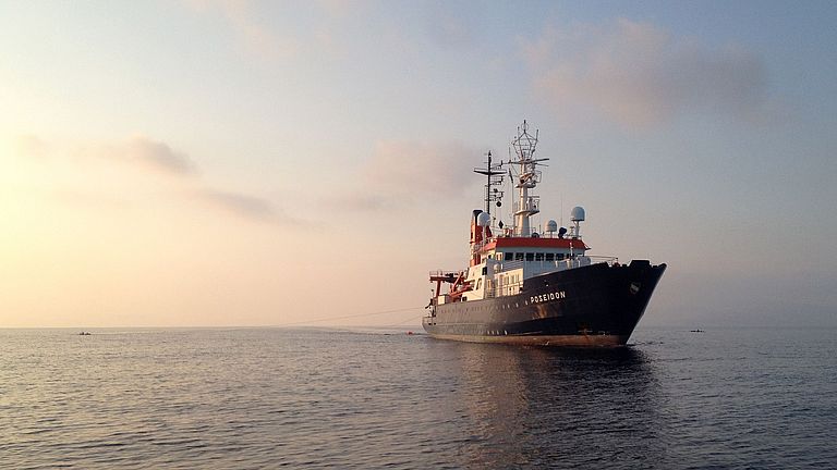
Research Vessel Poseidon during seismic measurements off Santorini. Photo: Paraskevi Nomikou
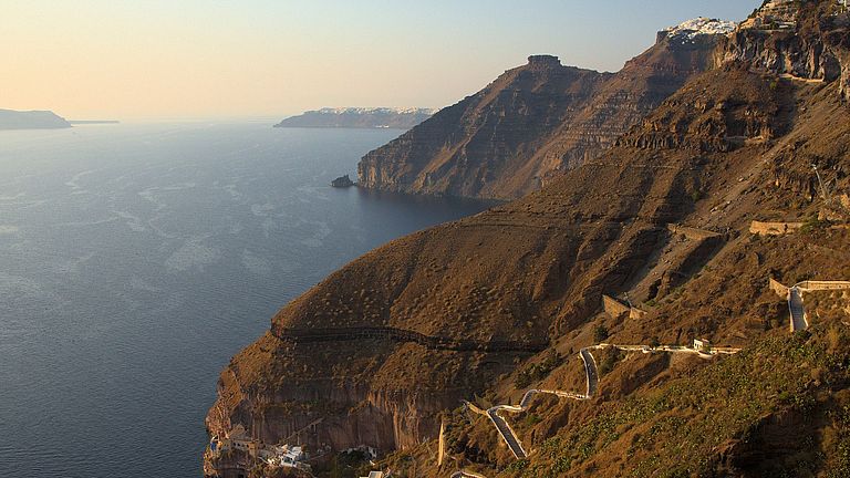
View into the caldera with the steep cliffs of Santorini, formed by the Minoan eruption. Photo: Jonas Preine
Further measurements on the research vessel Poseidon. Photo: Paraskevi Nomikou
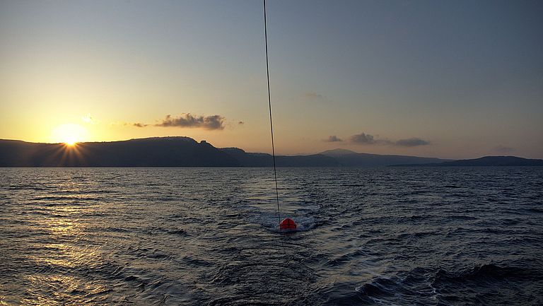
Seismic measurements during expedition POS538 off Santorini. The buoyancy body marks the position of the seismic source. Photo: Jonas Preine
Measurements of the Minoan eruption on the research vessel Poseidon. Photo: Paraskevi Nomikou
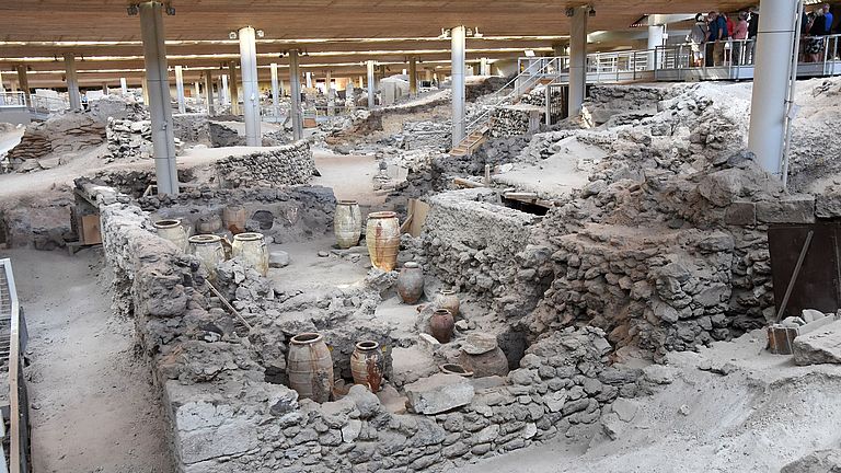
Excavation site of the city of Akrotiri on Santorini, buried by the Minoan eruption. Photo: Jonas Preine
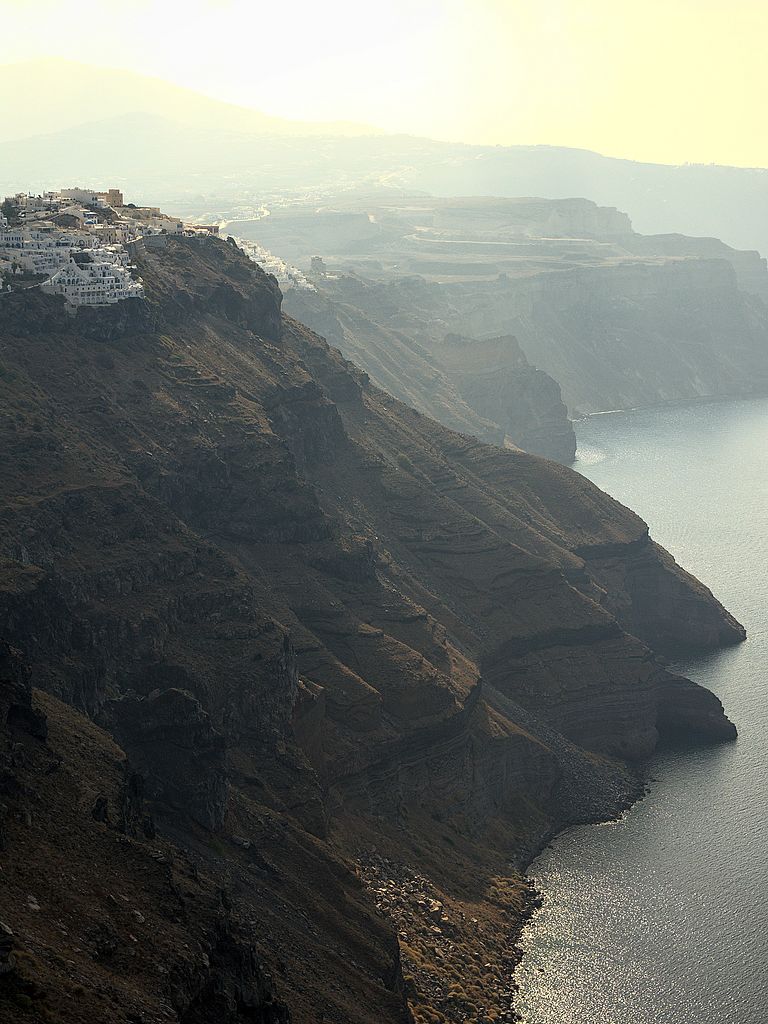
View into the caldera with the steep cliffs of Santorini, formed by the Minoan eruption. Photo: Jonas Preine