New Methods in Earthquake Research
Kiel’s GeoSEA Array to measure tectonic movements off Chile
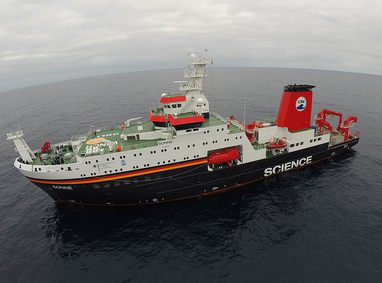
The GeoSEA Array will be installed for the first time from the research ship SONNE off the coast of Chile. The expedition participants will report about their work in a daily blog.
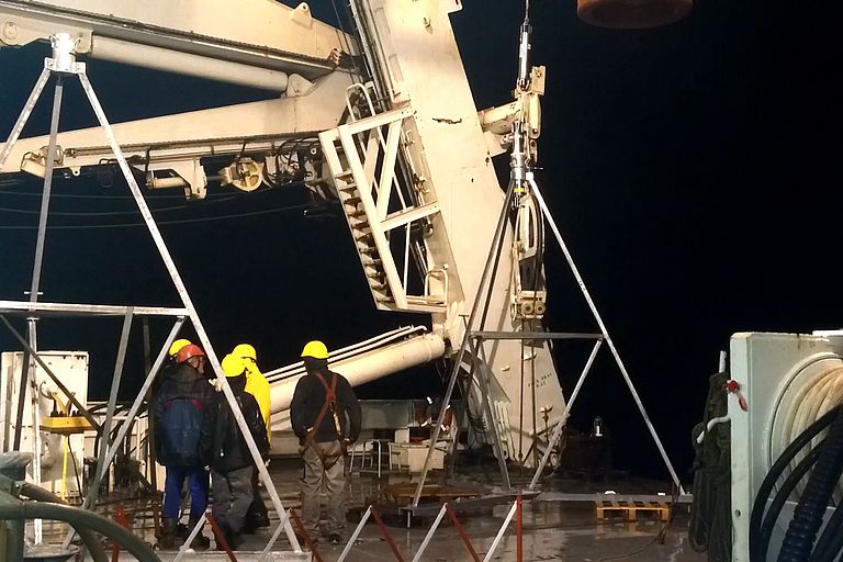
To understand natural disasters, one needs to examine them as close to their place of origin as possible. Yet this is a problem for earthquake research: The particularly strong quakes often arise along tectonic plate boundaries below the sea floor, as for example in 2011 off Japan or 2004 off Sumatra. While tectonic activity can be measured relatively simply with the help of GPS systems on land, this method does not work under water. Therefore geophysicists at the GEOMAR Helmholtz Centre for Ocean Research Kiel have developed a measuring system which works with distance measurements via acoustic waves and is designed for the deep sea. At the end of November with the research ship SONNE, 23 of these instruments will be placed at water depths of 2000 and 6000 meters off the coast of northern Chile. “We want to observe the movement of the tectonic plates with a millimeter range exactitude over a number of years,” explains project leader Prof. Heidrun Kopp from GEOMAR.
Chile is threatened by earthquakes due to the subduction of the Pacific Nazca plate under the South American continent. Tension builds up between the plates and is released through strong earth quakes. The last occasion was in September 2015 as an earthquake with a magnitude of 8.5 off Central Chile caused powerful shaking. In northern Chile, the last powerful earthquake occurred a considerably longer time ago: The so called Iquique segment experienced its last earthquake in 1877. “Since then, new tension is being continuously built up. Therefore seismologists are expecting a strong earthquake here,” say Professor Kopp.
With this in mind, the measuring network called GeoSEA Array was developed at GEOMAR and will be installed in this region. GeoSEA stands for “Geodetic Earthquake Observatory on the SEAfloor”. It is supposed to document deformations of the earth’s crust with a higher resolution and offer information on the formation and the course of earthquakes as well as on resulting tsunamis. “With this approach, we are taking a new path in earthquake research since previously, measurements with a precision of a few millimeters were hardly possible,” emphasizes Dr. Dietrich Lange from GEOMAR.
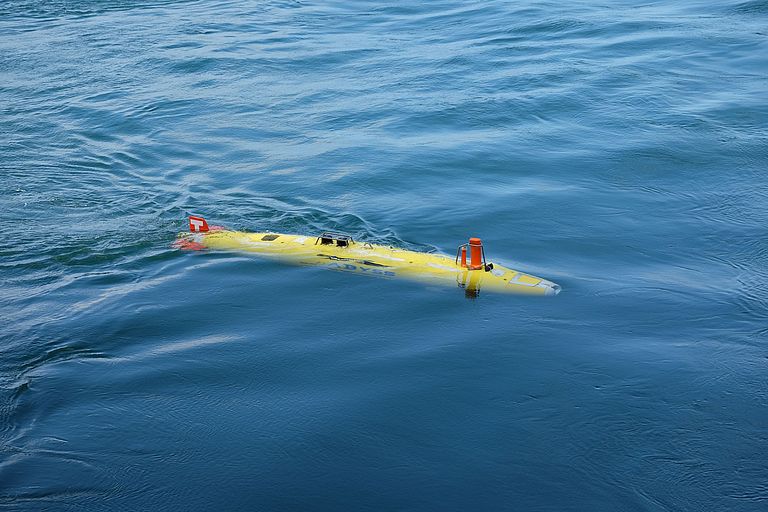
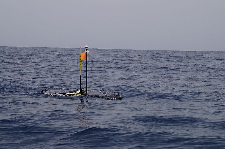
The 23 measuring stations communicate with each other using sound waves, the data transmission during the three year measuring period occurs wirelessly from the sea floor to a wave glider at the surface and from there via satellite to GEOMAR. “In the past three years, we have intensely studied the new technology as well as the tectonic structure in northern Chile and are pleased that our system can at last be put into action,” says Dr. Lang. During the SONNE’s last expedition (So244, Leg I) the sea floor was scrupulously surveyed with the help of the autonomous under water vehicle AUV ABYSS to choose the best locations for the GeoSEA instruments. The AUV team at GEOMAR has already written about the experience on www.oceanblogs.org. The reports from the second part of the expedition will also be posted there.
The study of natural disasters in Chile touches not merely on the purely scientific and humanitarian components but also on an economic aspect. With Iquique and Antofagasta, northern Chile has two of the world’s most important copper export harbors. “A strong earthquake with a resulting tsunami in this region could harm the global copper market and raise the price of all electronics, from mobile phones to wind turbines,” explains Professor Kopp.
Expedition at a glance:
SONNE-Expedition SO244, Leg I and II
Project: GeoSEA
Chief Scientist: Prof. Dr. Jan Behrmann, GEOMAR (Leg I), Prof. Dr. Heidrun Kopp, GEOMAR (Leg II)
Start: 31. October 2015, Antofagasta (Chile)
End: 13. December 2015, Antofagasta (Chile)
Image material:
At www.geomar.de/n4116 available for download
Contact:
Jan Steffen (GEOMAR, Communication & Media), Phone: (+49) 431 600-2811, presse(at)geomar.de


