Anna Niewerth
Phone: +49 (0) 431 600 2812
E-Mail: aniewerth(at)geomar.de
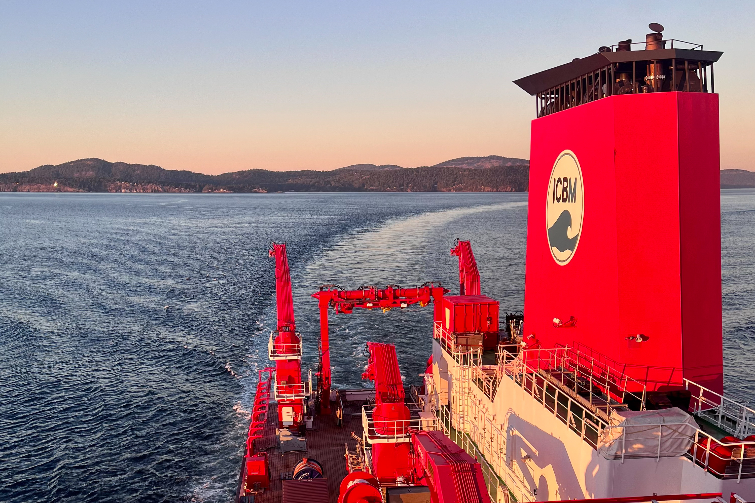
On the SO321-3 expedition, researchers are surveying basaltic formations that are being considered as potential future CO2 storage sites. The dataset forms the basis for a long-term monitoring system. The expedition set sail from Vancouver, Canada, at the weekend.
Photo: Anne Völsch, GEOMAR
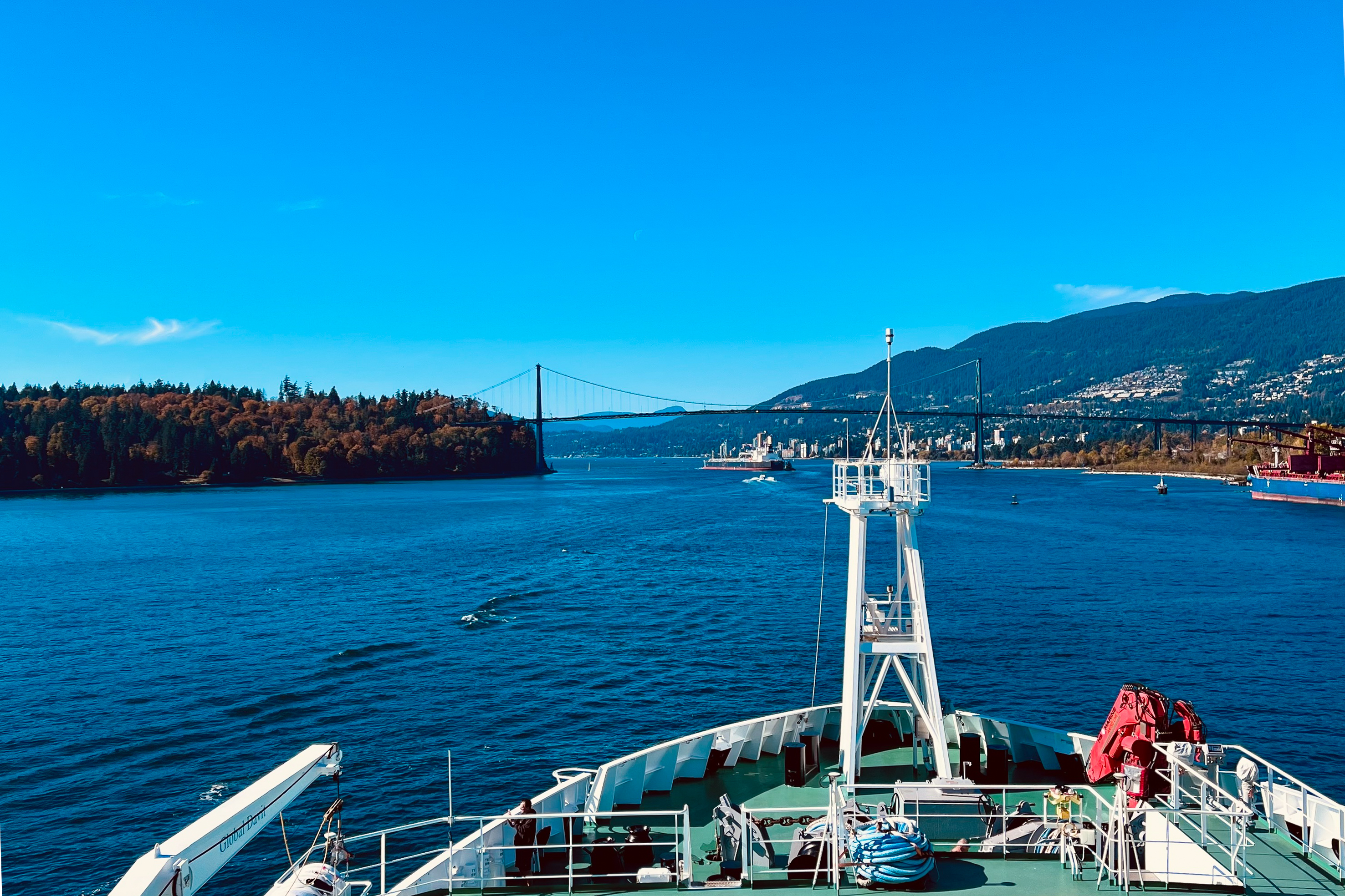
View from the research vessel SONNE of the Lions Gate Bridge in Vancouver, Canada. The expedition’s destination is San Diego, USA.
Photo: Anne Völsch, GEOMAR
A Basis for Monitoring CO2 Storage Beneath the Seabed
SONNE Expedition SO321-3 investigates basalt off the Canadian Pacific coast
The global expansion of carbon capture and storage (CCS) is regarded as essential for achieving international climate targets and permanently removing unavoidable residual emissions from the atmosphere. In addition to depleted oil and gas reservoirs, basalt rock formations are increasingly coming into focus. In such formations, injected carbon dioxide can be converted into solid minerals within a short time through natural geochemical reactions and thus permanently and safely sequestered underground. Basalt deposits beneath the seabed, in particular, offer great potential for this purpose.
Starting today, a team from the GEOMAR Helmholtz Centre for Ocean Research Kiel, together with researchers from Ocean Networks Canada and the University of Victoria, is investigating how such a storage site can be geophysically characterised and subsequently monitored, whilst on board the research vessel SONNE. During the SO321-3 expedition, the researchers are surveying the subsurface off the Pacific coast of Canada ahead of a planned CO2 injection.
Reference Measurements Must Be Taken Before Storage
“Before CO2 is injected into the subsurface, we need to know exactly how the subsurface is structured. This baseline measurement is crucial to ensure that any subsequent changes can be detected at all,” says expedition leader Dr Sebastian Hölz, a geophysicist at GEOMAR.
Using controlled source electromagnetics (CSEM), the researchers aim to create a high-resolution dataset of the subsurface. This will later serve as a baseline dataset for measurements following CO2 injection, thereby forming the basis for a long-term geophysical monitoring system.
The Subsurface Is Being Surveyed Using Electromagnetic Methods
In this method, an artificial source generates electromagnetic signals in the subsurface. Rock layers conduct these signals to varying degrees. From the differences measured, the researchers can infer the properties of the subsurface. The CAGEM transmitter, developed at GEOMAR, is used for this purpose, along with twelve measuring stations on the seabed – known as Ocean Bottom Electromagnetic (OBEM) stations – which record the signals.
The measurements aim to show how the electrical resistance in the subsurface is distributed up to several hundred metres below the seabed. This information provides insights into the structure of the potential storage reservoir and can help identify possible pathways for CO2 in the subsurface.
Measuring the Same Profile Twice
A distinctive feature of the expedition is that the first measurement profile is surveyed in both directions immediately one after the other. The transmitter therefore first travels along the profile in one direction and then back again.
“We don’t just want to measure what lies underground. We also need to know how reliable our measurements are. If we survey the same profile twice under conditions that are as similar as possible, we can estimate which changes even after aoccur repeated measurement. This will enable us ultimately understandto which changes could be triggered by an injection ,” says Hölz.
This repeat measurement is important for a future monitoring system. This is because, following a CO2 injection, changes in the electromagnetic signal would only be unambiguously interpretable if the magnitude of the measurement uncertainty – without any changes to the subsurface – were known.
The Basis for a Future Monitoring System
The SO321-3 expedition has only a very narrow time window for this: a total of around 72 hours is available for the geophysical work. After setting sail from Vancouver, the SONNE will first head to the work area off the Canadian Pacific coast. There, the twelve OBEM stations will be deployed on the seabed. This will be followed by the electromagnetic measurements. After the measurements, the stations will be retrieved and, where possible, redeployed directly on a second profile.
The results are to be incorporated into the planning of a permanently installed electromagnetic monitoring system. Such a system could, in future, reveal changes in the subsurface and thus help to assess how a CO2 storage site develops following an injection.
Expedition at a Glance
Name: SO321-3
Research vessel: SONNE
Expedition leader: Dr Sebastian Hölz, GEOMAR
Dates: 3 to 13 October 2026
Start: Vancouver, Canada
End: San Diego, USA
Cruise area: Canadian Pacific coast, area around IODP drilling site U1362
On the SO321-3 expedition, researchers are surveying basaltic formations that are being considered as potential future CO2 storage sites. The dataset forms the basis for a long-term monitoring system. The expedition set sail from Vancouver, Canada, at the weekend.
Photo: Anne Völsch, GEOMAR
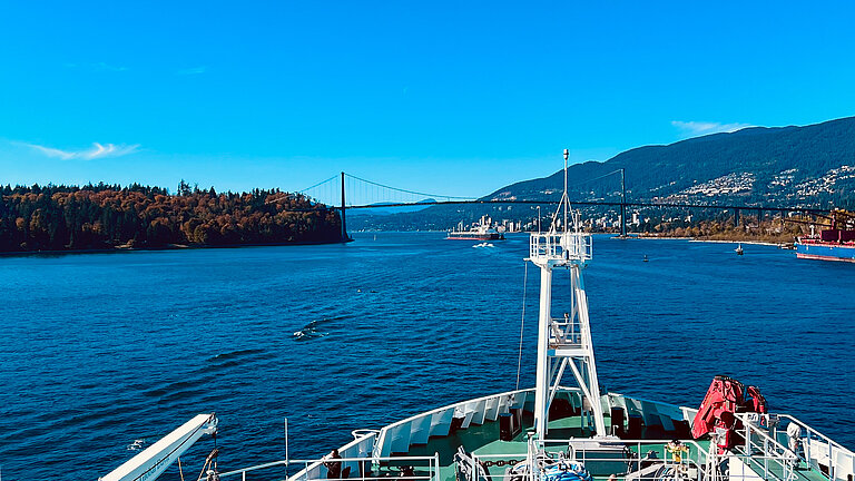
View from the research vessel SONNE of the Lions Gate Bridge in Vancouver, Canada. The expedition’s destination is San Diego, USA.
Photo: Anne Völsch, GEOMAR