The data collected by the Ramses above/below-water spectral radiometer are obtained in real-time by Ph.D. candidate Jakob Martius (CAU) from a zodiac boat. The settings of the scan parameters for the spectrum recordings also need to be adjusted according to the given conditions. Photo: Eike Schütt, CAU
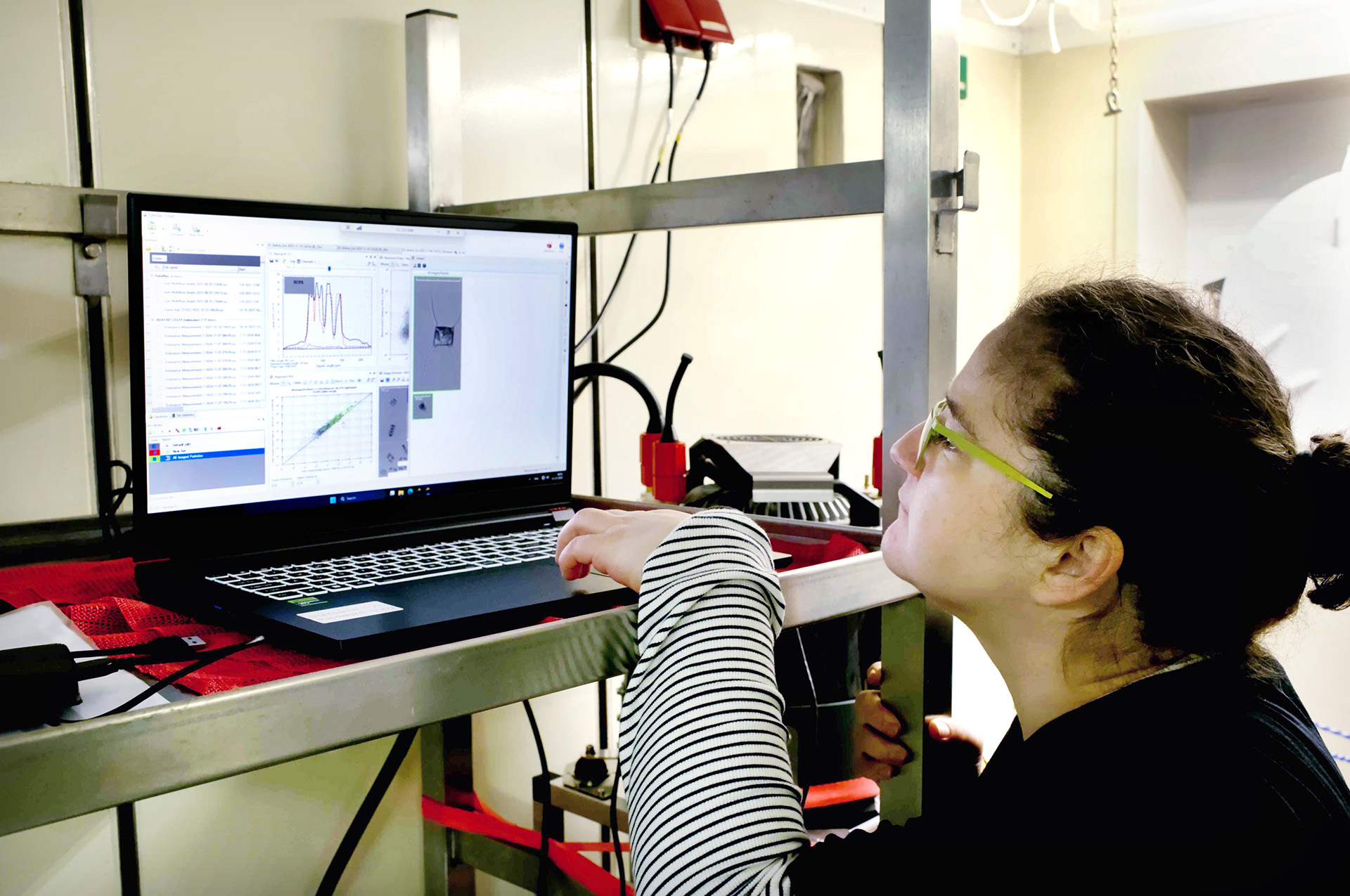
Gülce Kurtay, a postdoctoral researcher, is working with the CytoSub on board the research vessel ALKOR. Depending on the conditions, the water sample, and the research question, the settings on the device need to be optimized so that the automatic image recognition can identify the plankton. Photo: Henry Göhlich, GEOMAR

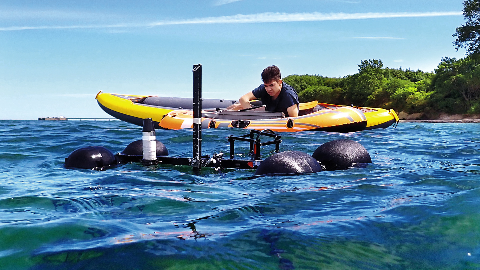
Within the framework of the KIMMCO project, the regular cruises to the time series station Boknis Eck are utilized to conduct tests on the new methods. Photo: Ilka Thomsen/GEOMAR
Fieldwork – Developing our AI Products
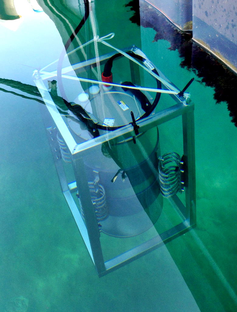
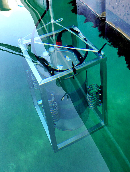
A key part of the project involves field and laboratory testing of the new sensors and components of the Autonomous Monitoring Box (AMB), (AI Product 1). The results are then compared to the laboratory measurements to evaluate the AMB's biochemical analysis accuracy. During experimental measurements with the CytoSub and PlanktoScope, images of various phytoplankton species are taken. These images are then used with publicly available image databases to train the FAIR image recognition tool (AI Product 2).
For the development of improved satellite algorithms (AI Product 3), a Ramses spectral radiometer, which is attached to the ship's hull, measures the water color in situ. These results can then be compared with satellite measurements. To do this, shipborne measurements must be synchronized with the overflight times of the right satellites. Primary production measurements carried out in the laboratory on water samples collected during the ship's excursions complement this approach. This will enable us to determine the CO₂ sink function with high resolution and on a large scale for the coastal waters of the Baltic Sea in the future. An AI-supported visualization tool (AI Product 4) will make the state of the algae in the near-coastal Baltic Sea easily understandable to the public. Regular cruises to Boknis Eck provide a solid foundation of data on which to develop the new tool.
-
Project lead: Prof. Dr. Anja Engel
GEOMAR Helmholtz Centre
for Ocean Research Kiel
Wischhofstraße 1 - 3, D-24148 Kiel
Phone: +49 431 600-1510
Mail: aengel(at)geomar.deProject coordination: Dr. Frauke Pescheck
GEOMAR Helmholtz Centre
for Ocean Research Kiel
Wischhofstraße 1 - 3, D-24148 Kiel
Phone: +49 431 600-1510
Mail: kimmco(at)geomar.de
-
-
► Aquaspect-Project: Automated identification of zooplankton using AI
► Recover-Projekt: Interreg Project for finding and evaluating restoration measures for the Baltic Sea in the German-Danish area
► Time Series Station Boknis Eck: Storymap