
Phone: +49 431 600-2324
Email: dlange(at)geomar.de
SECO: The Fine Structure of a Seismogenic Zone Revealed by Aftershocks of the 2014 Iquique Mw 8.1 Earthquake
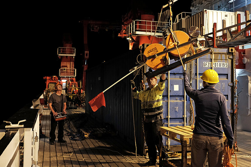
The majority of global earthquakes occur along subduction zones. During great earthquakes (M>8) along these convergent plate boundaries the shallow interface between the plates ruptures and rupture propagates down to depths of ~40 km. The trench marks the onset of subduction and the seismogenic zone where large ruptures occur is almost exclusively located beneath the marine forearc. The objective of the proposed project is to nurture our understanding of the structural influence on postseismic relaxation processes of a marine forearc using high-resolution location techniques of an aftershock sequence. Here, we want to focus on the erosive margin in North Chile where the Mw 8.1 Iquique earthquake on 1 April 2014 ruptured the marine forearc. We propose to combine 24 months of continuous data from 14 ocean bottom stations (OBS) installed between December 2014 and November 2016 with the data from the permanent IPOC network and temporary land stations. The integration of the offshore OBS data with the onshore seismology data provides a shore-line crossing data set with the exceptional capability to fully image the plate boundary in its entity. Previous data sets were only capable to capture the offshore domain up to the continental shelf or the onshore portion from the arc to the coastline. Here, we have the unique opportunity to bridge this gap. In particular, we want to investigate seismicity in the 2014 rupture area and the transition to the remaining seismic gap to the south of the Iquique earthquake, which last ruptured in 1877. In the first phase of the project we plan to detect and locate the seismicity in order to obtain a high-resolution earthquake catalogue. This will allow resolving the spatial relation between postseismic activity and structural features such as variations in the topography of the plate interface, splay faults, internal structure of the seismogenic zone or transient fluid migration into the overriding plate, to establish a possible correlation between dehydration processes and the seismicity distribution in the upper plate. Then, local earthquake tomography will be applied to determine the 2D and 3D vp and vp/vs velocity structure and will contribute to a better understanding of lateral and downdip structural changes of the forearc. The findings will be jointly interpreted with the results of a recent high-resolution reflection seismic grid and a 3D refraction experiment dataset acquired during 2016 with RV Langseth. Additional information on surface structures will be integrated from the newly available high-resolution seafloor bathymetry map, which provides important constraints on structural segmentation of the forearc that needs to be correlated with the corresponding findings in the seismicity distribution. The project proposed here hence targets a unique holistic approach by combining shore-line crossing seismology data with information from 2D and 3D active seismic experiments and structural constraints on tectonic segmentation from bathymetry and topography data.