Prof. Dr. Heidrun Kopp
Phone: +49 431 600 2334
E-mail: hkopp(at)geomar.de
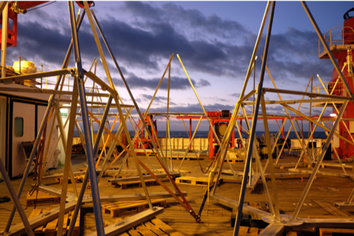
In 2015 three seafloor geodetic arrays were installed offshore northern Chile on the lower and middle continental slope as well as on the outer rise to record seafloor deformation in the Iquique segment of the Nazca-South America plate boundary (GeoSEA array, SONNE Cruise SO244). The recovery of the seafloor transponders after their 3.5 years of battery lifetime requires the operation of a remotely operated vehicle (ROV). The transponders measure the acoustic distance within the array, tilt, pressure, and temperature. Seafloor morphology of the array locations has been mapped using high-resolution AUV bathymetry measurements. However, knowledge of the structures at depth below the transponder stations is still lacking and shall be investigated through high-resolution seismic studies (incl. OBS for velocity-depth information to derive depth sections) complemented by visual ground-truthing (ROV camera) and sampling. This information is crucial to distinguish between geodetic signals related to the degree of interseismic locking or creep, and the distribution of deformation along the plate boundary and within the overriding plate.