Arc Rifting, metallogeny and microplate evolution: An integrated geodynamic, magmatic and hydrothermal study of the Bismarck Archipelago, Papua New Guinea
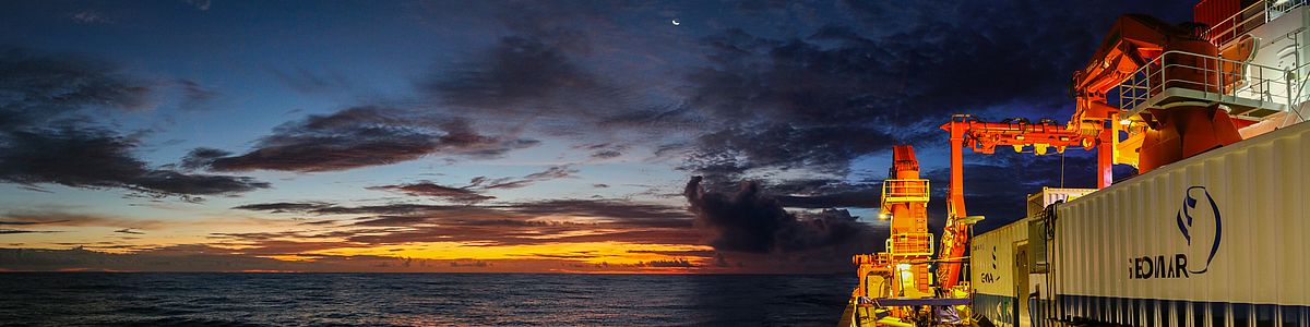
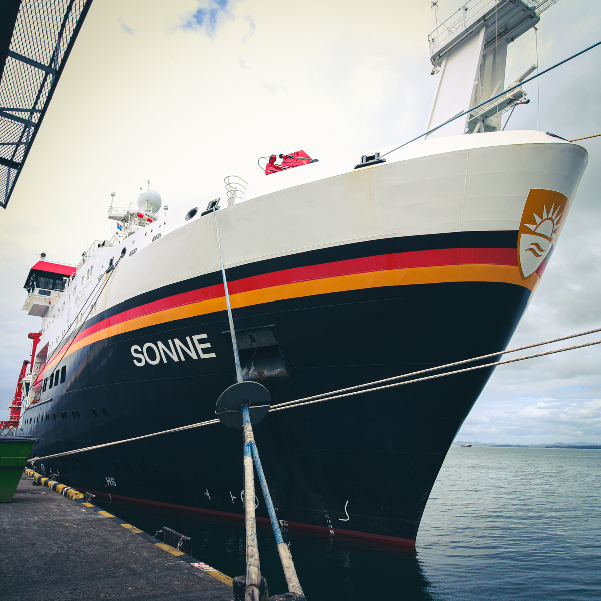
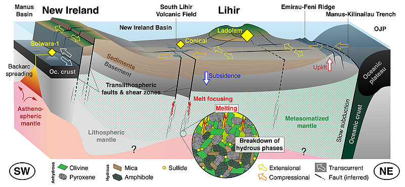
The metallogenic diversity of the Earth`s crust is closely related to complex tectonic processes at the plate margins. Some of the most metal-endowed continental crust on Earth is forming today in complex subduction zone settings of the Western Pacific. In easternmost Papua New Guinea, recent crustal growth and ore formation is driven by arc-continent collisions, subduction reversals, and continuous metasomatism of the mantle wedge, resulting in recycling and addition of volatiles and metals. Several of the world`s largest Cu and Au deposits have formed in this region over the last 2-3 million years, and some are still forming today. However, geodynamic models of the region are constructed at a very broad scale with an uncertain link to ongoing magmatism, the local neotectonic framework and the role of the lithospheric basement. The proposed project will use an integrated approach of high-resolution multibeam mapping, seismology, magnetotellurics, heat flow, geochronology and petrology/geochemistry to obtain the first comprehensive view of one of the world’s most complicated yet mineral-rich belts and attempt to address a major unsolved question about the region: why has so much metal been added to the crust at this location?


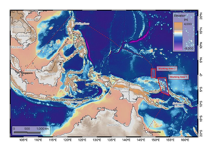
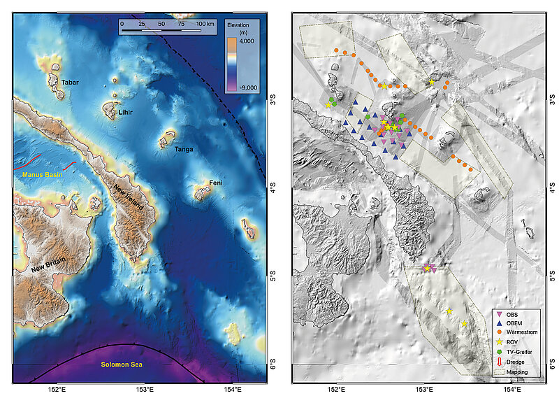
![[Translate to English:] Karte des Arbeitsgebietes 1](/fileadmin/content/forschen/mr/mmr/SO299/WorkingArea_Expeditionsheft.jpg)

![[Translate to English:] Logo GeoZentrum Nordbayern](/fileadmin/_processed_/9/5/csm_geozentrum_3eeb4f746c.jpg)
![[Translate to English:] Logo BGR](/fileadmin/_processed_/c/0/csm_BGR_neu_e68bdb1f3f.jpg)
![[Translate to English:] Logo Uni Helsinki](/fileadmin/_processed_/7/0/csm_Uni-Helsinki_70a03b1cc3.jpg)
![[Translate to English:] Logo Uni Ottawa](/fileadmin/_processed_/0/7/csm_UOttawa_3fbc004784.jpg)