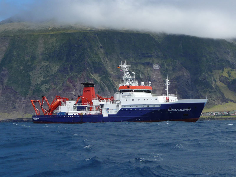
MARIA S. MERIAN MSM88/1
- Area:
- Southern North Atlantic
- Time:
-
28.11.2019 - 17.12.2019
- Institution:
- GEOMAR
- Chief scientist:
- Colin W. Devey
The topography of the oceans is almost completely unknown until today. Only about 15 percent of the seabed has been measured by hydroacoustic methods. However, detailed knowledge of the shape of the seabed is crucial to humankind. Bathymetric data, for example, play a role in marine conservation, but also for a sustainable use of the sea, including its resources. On expedition MSM88, a single area with a size of 170.000 squarekilometres will be surveyed in the Atlantic representing a German contribution to 'The Nippon Foundation - GEBCO Seabed 2030 Project', which “aims to bring together all available bathymetric data to produce the definitive map of the world ocean floor by 2030 and make it available to all”.
The area is located in the southern North Atlantic and takes place along the transit route of MARIA S. MERIAN from Mindelo, Cabo Verde to Bridgetown, Barbados. The data will be processed immediately on board and are to be sent directly (near-real-time) to the international data portal Pangaea, where the data will then be publicly available as public good.
During the profiling a magnetometer / gradiometer will record the magnetic field of the oceanic crust. The main scientific objective is the understanding of the magnetization of oceanic core complexes (megamullions).