METEOR (III) [1986-2026] M176
- Area:
- Bay of Biscay
- Time:
-
31.07.2021 - 29.08.2021
- Institution:
- GEOMAR
- Chief scientist:
- Jörg Geldmacher

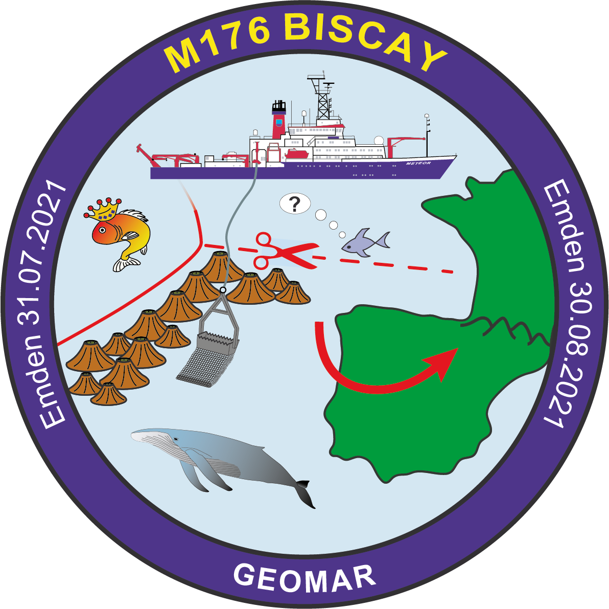
The R/V METEOR expedition M176 BISCAY CONNECTION heads to the eastern North Atlantic with a working area stretching from the Bay of Biscay almost to the Azores archipelago. The aim is to better understand the opening of the Bay of Biscay and its associated volcanism as well as the movement of the Iberian plate during the late Cretaceous. These findings are fundamental to further constrain the opening and evolution of the early North Atlantic. Another goal is to explore the Azores-Biscay Rise, a chain of underwater mountains that stretches over 750 km from southern Biscay to the Azores. The formation of this (presumably exclusively volcanic) mountain range is still completely unclear and virtually no rock samples exist from this structure so far that could be used to investigate its age and origin. Possible models range from an origin by tectonic and volcanic activities along a temporarily existing plate boundary to formation as a hotspot trail (i.e. through volcanism on a moving plate above a stationary magma source in the underlying Earth’s mantle). In case a hotspot is involved, the question arises as to whether this hotspot is identical to the melting anomaly that is assumed under the current Azores archipelago.
A key area for this expedition is the southwestern part of the Bay of Biscay, where the Azores-Biscay Rise meets the former suture zone (oceanic spreading center) where the Biscay opening ceased around 74 million years ago. Due to this opening and the resulting counterclockwise movement of the Iberian Block (comprising today's Spain and Portugal), the Pyrenees mountains were folded and uplifted from about 85 million years ago on. If the Azores-Biscay Rise turns out to be an age-progressive hotspot trail, it will also be possible to test the disputed theory that Iberia acted as independently drifting plate during this period and to reconstruct its absolute movement before its final amalgamation with the rest of Europe.
During this expedition we will conduct bathymetric mapping (using the multibeam echo sounder) and hard rock sampling of the submarine structures mentioned above. Geochemical investigations and age dating of the recovered rock samples, carried out after the cruise, will hopefully enable us to answer all of the questions raised above.


